Services
We provide comprehensive solutions in surveying and construction, backed by a proven track record of over 50 successful projects.
With a commitment to excellence, we leverage cutting-edge technologies to deliver outstanding services that ensure the success of our clients’ projects and bring their visions to life.

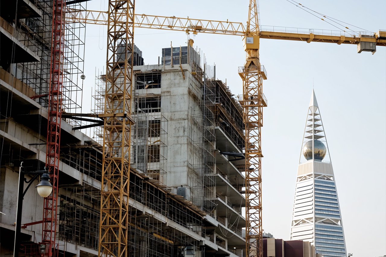
Our Recent Projects

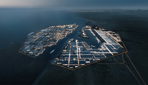
King Salman Park
YAZ played a key role in the topographic
and 3D laser scanning of the world’s
largest urban park, ensuring accurate
design and planning.

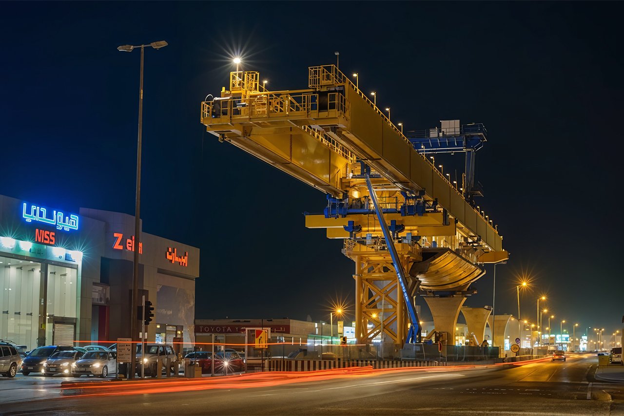
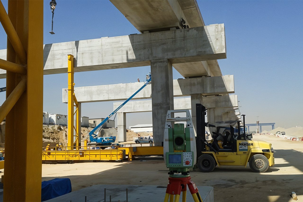
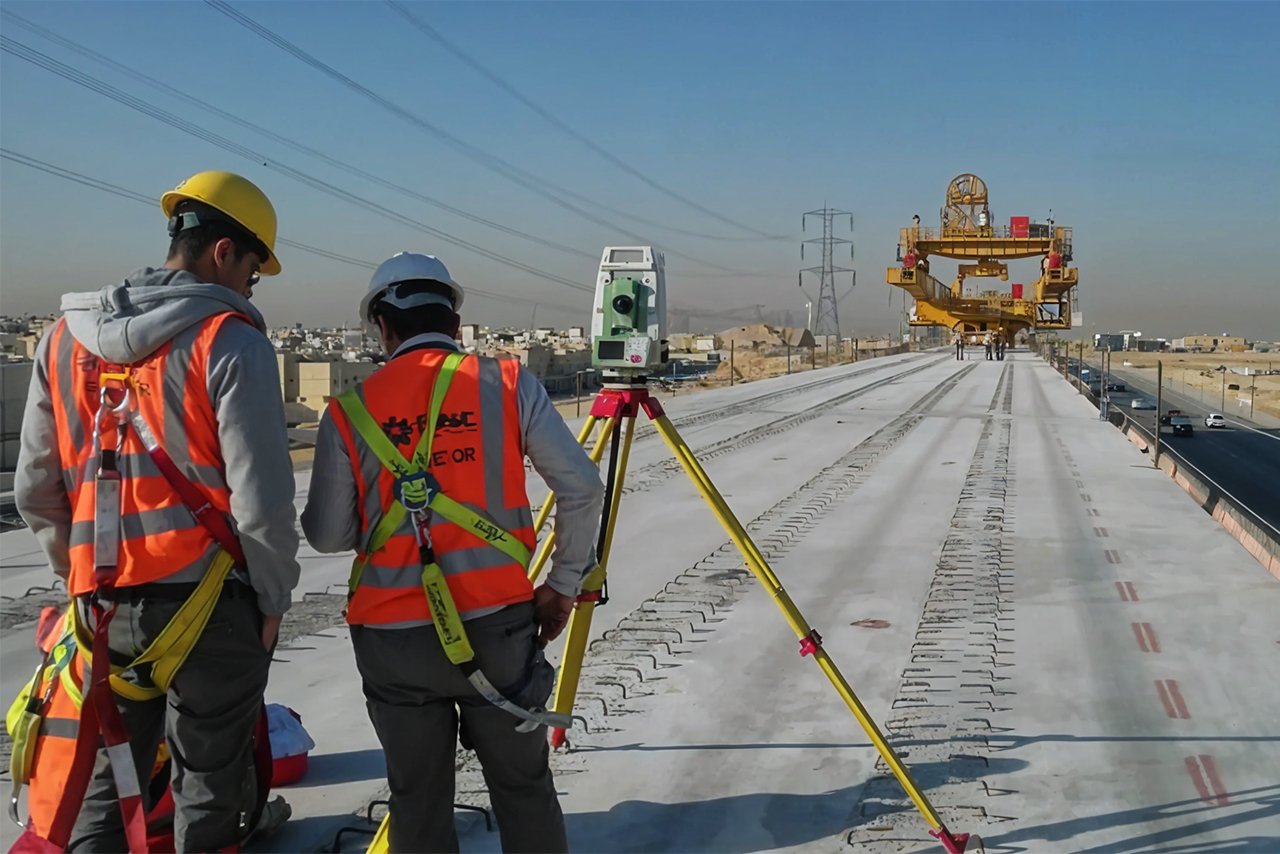
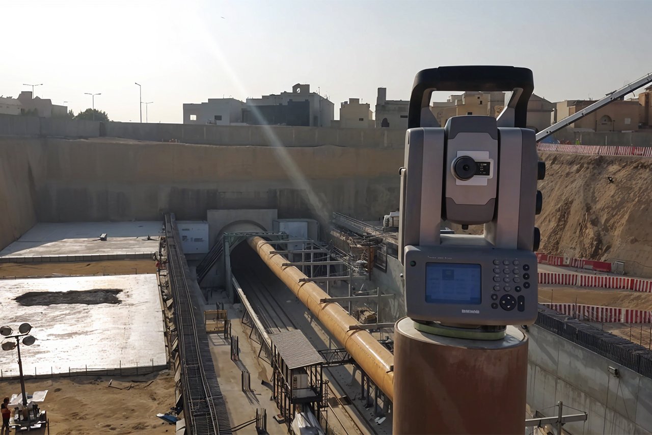
Riyadh Metro Project
Our team created a robust control point
network and deployed over 30 specialized
survey teams to ensure precision in tunnel and station construction. We also led Tunnel Boring Machine (TBM) operations for underground excavations.
NEOM City
YAZ provided essential surveying and utility detection services during the early stages of the NEOM project, helping shape this futuristic city’s infrastructure.
Here’s an overview of our services
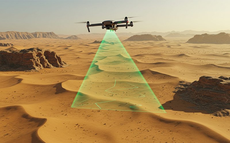
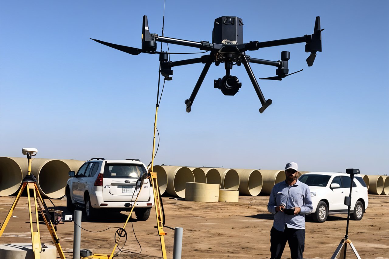
Aerial Surveying (Drone and Aircraft-Based Surveys)
Using drones and aircraft equipped with advanced sensors, YAZ Development offers aerial surveying services to capture high-resolution data over large or difficult-to-access areas. This service is ideal for large infrastructure projects, environmental assessments, and urban planning.
Show More
Using drones and aircraft equipped with advanced sensors, YAZ Development offers aerial surveying services to capture high-resolution data over large or difficult-to-access areas. This service is ideal for large infrastructure projects, environmental assessments, and urban planning.
Outputs:
- High-resolution aerial imagery
- Digital elevation models (DEM)
- Orthophotos for land analysis
- Comprehensive topographic maps from aerial data
Example Projects:
NEOM City: Drone surveys were used to capture extensive topographic data across large project areas, providing accurate terrain models for planning.

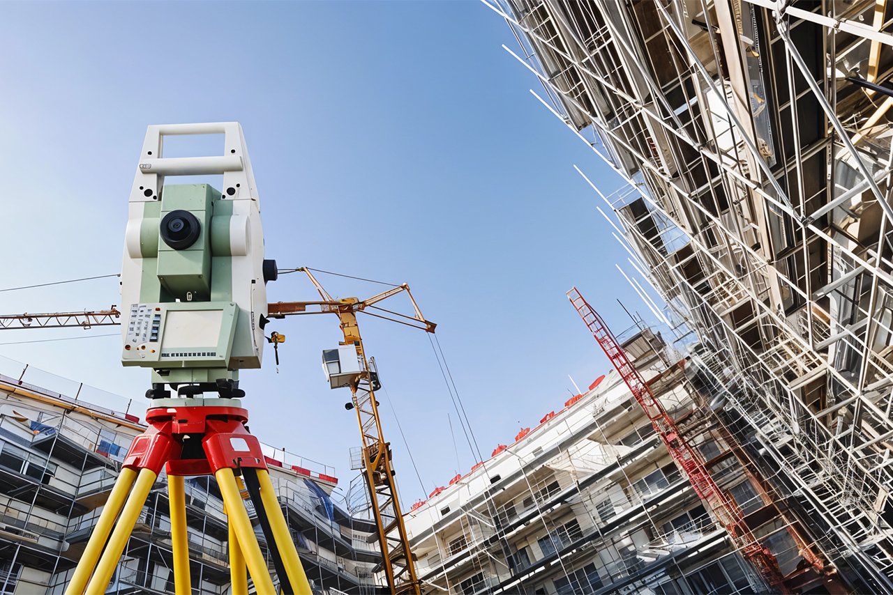
Topographic Surveying
Topographic surveys form the foundation for any construction project. Using advanced technology such as Leica Nova MS60 MultiStation and Trimble GNSS Systems, we deliver topographic maps, digital terrain models (DTM), and 3D terrain visualizations.
Show More
Outputs:
- Detailed topographic maps for planning and construction
- 3D models and elevation profiles
- Cross-sections and contour maps for engineering design
Example Projects:
King Salman Park: YAZ’s topographic surveys were critical in planning and grading this massive urban green space.

Ground Penetrating Radar (GPR) and Utility Detection
Our GPR services and utility detection solutions offer comprehensive underground mapping of utilities, including pipelines, electrical lines, and fiber optic cables. This non-invasive technology is essential for preventing costly damage to underground infrastructure during construction and ensuring that projects proceed safely.
Show More
Outputs:
- Detailed underground utility maps
- Reports on depth and location of hidden utilities
- Recommendations for safe excavation and construction
Example Projects:
- Riyadh Metro: Our GPR technology ensured the accurate detection of underground utilities, preventing any disruptions during tunneling.
King Abdulaziz International Airport Expansion: We used GPR to map underground utilities, ensuring smooth and safe construction.Outputs:
- High-resolution aerial imagery
- Digital elevation models (DEM)
- Orthophotos for land analysis
- Comprehensive topographic maps from aerial data
Example Projects:
NEOM City: Drone surveys were used to capture extensive topographic data across large project areas, providing accurate terrain models for planning.
Quantity Surveying (Material Estimation and Cost Analysis)
Quantity surveying is essential for managing project costs and ensuring efficient use of resources. YAZ Development offers precise material estimates and cost analysis, helping clients avoid over budgeting and material waste.
Show More
Outputs:
- Accurate material quantity estimates
- Detailed project cost analysis
- Resource allocation and budgeting reports
Example Projects:
- Infrastructure Projects: YAZ provided quantity surveying services for multiple road and infrastructure developments, calculating the precise amounts of materials required and optimizing project budgets.
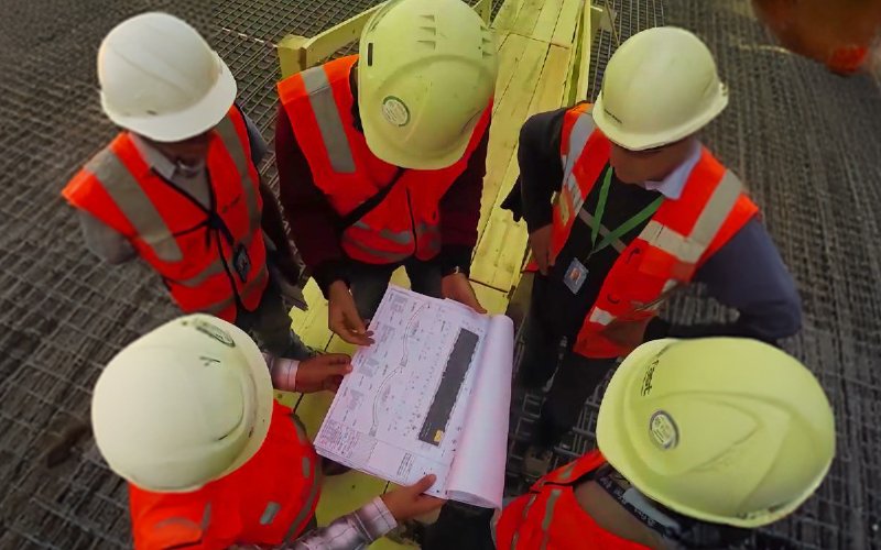
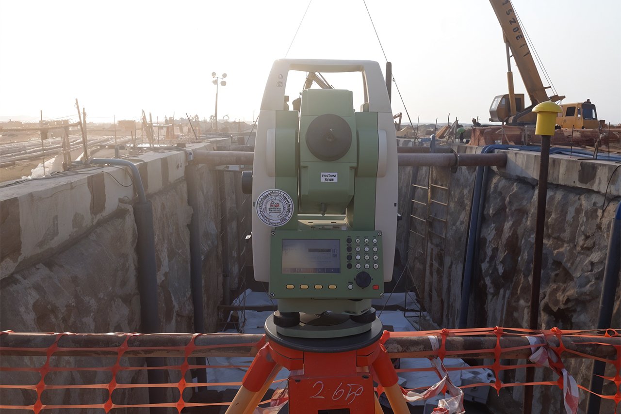
Construction Layout and Staking

We provide construction layout and staking services to ensure that all construction elements, including foundations and utilities, are accurately placed. Using Total Stations and GNSS systems, we ensure that the design specifications are precisely followed.
Show More
Outputs:
- Construction layout plans and staking points
- As-built surveys to verify construction accuracy
- Alignment and placement reports for structural elements
Example Projects:
Riyadh Metro: Our construction layout services ensured that all metro tunnels and stations were built with extreme accuracy.

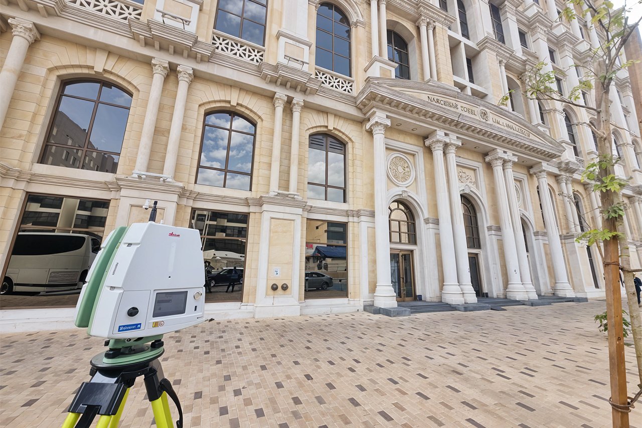
3D Laser Scanning and Reality Capture
YAZ Development uses advanced 3D laser scanning technologies to capture highly detailed point cloud models of existing structures and terrains. This technology is invaluable for as-built documentation, renovations, and quality control during construction.
Show More
Outputs:
- High-resolution 3D point cloud models
- Accurate visualizations for existing structures
- As-built documentation for construction validation
Example Projects:
- Diriyah Gate: YAZ used 3D laser scanning to document historical structures, providing precise data for preservation and integration with new developments.
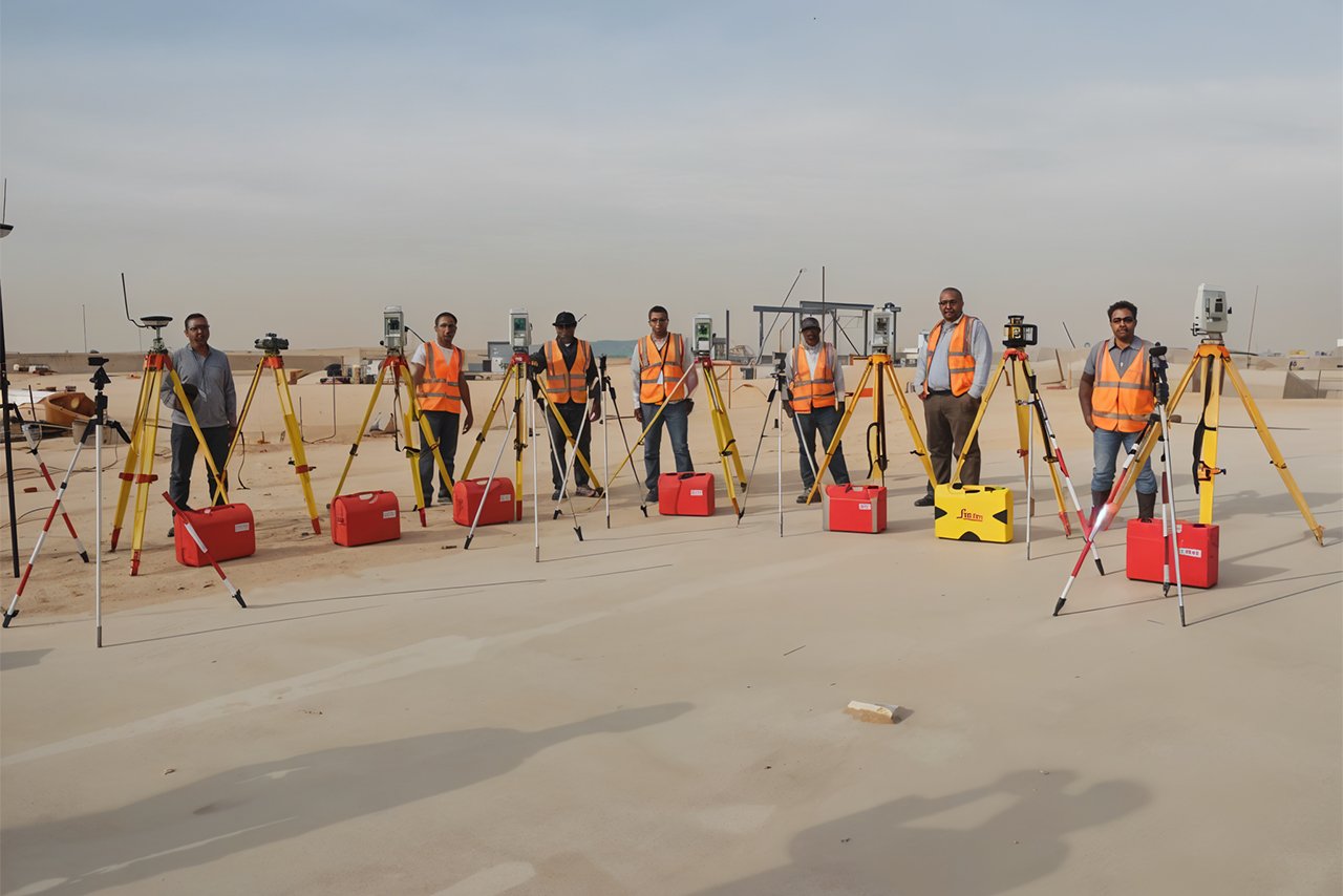
Surveying Teams and Equipment Rental
YAZ Development offers fully equipped surveying teams for hire, providing major construction companies with skilled professionals and cutting-edge equipment.
Show More
Our teams have been deployed to some of the largest projects in Saudi Arabia, such as the Riyadh Metro Project, where we supplied over 30 survey teams. Our services are trusted by companies like Nesma, Albawani, Baytur, Frensh, and MBL, who rely on our expertise to execute their projects with precision.

Control Point Networks
Creating a control point network is essential for maintaining accuracy in large-scale construction projects. YAZ Development specializes in establishing geodetic control points that ensure construction is aligned with high-precision geographic data.
Show More
Outputs:
- Geodetic control points
- High-accuracy reference data for construction
- Monitoring reports for precision alignment
Example Projects:
- Riyadh Metro Project: Our control point network was crucial in maintaining accuracy throughout the metro’s construction, providing a reliable reference framework for all project phases.

Monitoring and Deformation Surveys
Our monitoring and deformation surveys provide real-time data on the stability of structures and infrastructures. This service helps identify any shifts or movements in buildings, bridges, and other structures, allowing for early intervention to avoid structural issues.
Show More
Outputs:
- Real-time monitoring reports on structural movements
- Deformation and displacement data
- Safety and stability assessments
Example Projects:
- High-Rise Buildings in Riyadh: YAZ conducted continuous monitoring of large towers to ensure stability during construction.

Watch Our Video
Watch Our Gallery
Frequent Questions
What types of surveying services do you offer?
We provide a wide range of surveying services, including topographic surveying, aerial surveying, utility detection, laser scanning, and Ground Penetrating Radar (GPR), tailored to meet the specific needs of each project.
What industries can benefit from your surveying services?
Our services cater to various industries, including construction, infrastructure, transportation, real estate, mining, and heritage preservation, ensuring accurate and reliable data for successful project completion.
How do your services help improve the efficiency of construction projects?
Our advanced surveying solutions, like GPR and laser scanning, help identify potential obstacles, detect underground utilities, and ensure accurate site mapping, all of which lead to reduced delays and cost overruns in construction projects.
Why should I choose YAZ Development for my surveying needs?
With over 50 successful projects, our team combines years of expertise, advanced technology, and a commitment to delivering precise, efficient, and reliable surveying solutions tailored to each project’s requirements.
Address
King Abdulaziz Road, King Fahd District, – Riyadh12274 – Saudi Arabia
Phone
+966 55 393 26 23
+966 53 900 87 57
info@yazdv.com